


|
© 2026 Upper Great Plains Transportation Institute is a research and education center at North Dakota State University.
|
MPC |
| Title: | Image-Based 3D Reconstruction of Utah Roadway Assets |
| Principal Investigators: | Abbas Rashidi |
| University: | University of Utah |
| Status: | Completed |
| Year: | 2020 |
| Grant #: | 69A3551747108 (FAST Act) |
| Project #: | MPC-606 |
| RH Display ID: | 154564 |
| Keywords: | asset management, data collection, evaluation and assessment, feasibility analysis, highways, laser radar, photogrammetry, software |
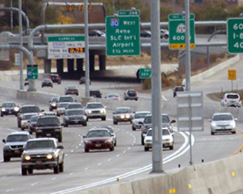 LiDAR (Light Detection and Ranging) is a mature and efficient technology currently used by various transportation agencies for highways asset management and data collection purposes. While effective, there are some limitations in using LiDAR as a common engineering tool: The technology is pretty expensive; certain levels of expertise and training are required to use LiDAR scanners for data collection and processing results, and finally it might not be available to all units and individuals. Close-range photogrammetry is another emerging technology that could be considered as a potential alternative for LiDAR scanning devices. The technology is based on processing images and videos simply captured by off-the-shelf cameras or smartphones. Unlike LiDAR, close-range photogrammetry is very cost effective, simple, and easy-to-use. This project is an attempt to study the feasibility of using photogrammetry for highway asset management purposes within the state of Utah. The project includes two major components: 1) evaluating available photogrammetric software packages in terms of generating high-quality point clouds of highway assets and 2) developing and evaluating necessary hardware settings (type and resolutions of cameras, using existing image repositories such as google street views, etc.) for data collection purposes.
Note to project PIs: please use the Track Changes feature when editing the above Word file(s). Updated document(s) should be emailed to ndsu.ugpti@ndsu.edu.